")
The Institute for Hydrology and Water Management (HyWa) at the University of Natural Resources and Life Sciences (BOKU) performs hydrologic modelling, in situ measurements, and remote sensing investigations at the Environmental Research Station Schneefernerhaus (UFS). Moreover, HyWa participates in activities connected to the international network GEWIX INARCH at the UFS.
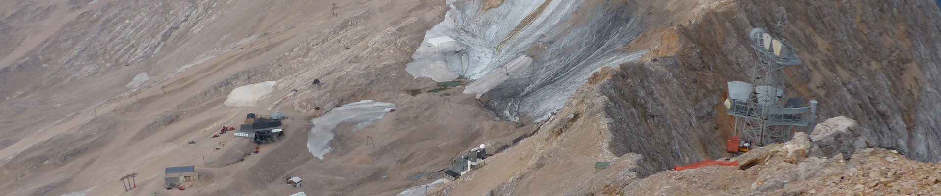
An in-depth understanding of the alpine water cycle is highly relevant as the alpine water resources play an important role for both the alpine areas as well as the forelands. In this context, the focus is, for example, on drinking water supply, hydroelectric energy production, tourism, and the water’s ecologic function. HyWa applies progressive modelling approaches to understand and forecast the alpine water cycle. Due to its lysimetric characteristics and its very good instrumentation, the Zugspitzplatt is an ideal research catchment for model development and model evaluation.
Regarding remote sensing, a transportable OPTECH LR LIDAR system, fixed digital cameras as well as satellite data (e.g., Landsat ETM+/OLI, Sentinel-2) are used amongst others. With the LIDAR it is possible to achieve advanced analysis regarding the spatiotemporal development of the snow cover, in which principal component analyses are used. The combination of in situ measurements with satellite data enables calibration and evaluation of satellite-based products. In particular, our investigations at Zugspitze are characterized by the combination of in situ observations on a fine local scale and satellite data on a coarser scale. Moreover, we investigate, test and further develop novel in situ measurement techniques, like snow water equivalent and liquid water content measurements based on Global Navigation Satellite System (GNSS) as well as specific methods to investigate snow temperatures. Regarding the latter, standard methods on snow temperature measurements are based on point measurements. By using the Distributed Temperature Sensing (DTS) technology, it is possible to conduct vertically and horizontally distributed measurements in a high temporal resolution.
The international network for Alpine Research Catchment Hydrology (INRACH) is a GEWEX crosscutting project (https://www.usask.ca/inarch/). The main aim is to overcome current limitations regarding alpine hydrology with a collaboration of currently approx. 20 alpine research catchments. The following research questions to be addressed within this project are:
How different are the measurement standards and the standards for field sampling and do we expect distinctive differences in model results and hydrological predictability because of the sampling schemes, data quality, and data quantity?
How do the predictability, uncertainty, and sensitivity of catchment energy and water exchange vary with changing atmospheric dynamics in various high mountain regions of the Earth?
What improvements to high mountain energy and water exchange predictability are possible through improved physics in land surface hydrological models, improved downscaling of atmospheric models in complex terrain, and improved approaches to data collection and assimilation of both in-situ and remotely sensed data?
Do the existent model routines have a global validity, are they transferable, and are they meaningful in different mountain environments?
How do transient changes in perennial snowpacks, glaciers, ground frost, soil stability, and vegetation impact models of water and energy cycling in high mountain catchments?
Contact:
Dr. Franziska Koch