

A deeper understanding of the Alpine water cycle is important, as the mountain ranges’ water resources play a crucial role not only in supplying water to the Alpine region itself, but also to the foothills. In the immediate Alpine foothills, the focus is not only on the supply of drinking water, but also on electricity generation from hydroelectric power stations, tourism and the ecological function of water.
The Institute of Hydrology and Water Management (HyWa) at the BOKU University conducts hydrological modeling, in situ measurements, and remote-sensing-based studies at the Schneefernerhaus Environmental Research Station (UFS).

The G-MONARCH research project uses gravimetric methods to improve our understanding of the Alpine water cycle, using the Zugspitze as a case study. Due to its unique geology and the existing infrastructure and instrumentation, the Zugspitze offers ideal conditions for this project. A superconducting gravimeter installed in the former Max Planck Laboratory—now a historic landmark—at the summit of the Zugspitze continuously measures changes in gravitational acceleration at this location, a value often assumed to be constant at 9.81 m/s² at the Earth’s surface. The major innovation compared to all other existing hydrological and meteorological measurement methods lies in the fact that this approach allows for the comprehensive recording and quantification of all changes in hydrological masses—in the form of water, snow, and ice—within an area of approximately 50 km². The Zugspitze is thus, so to speak, continuously weighed: it becomes heavier when it snows and lighter when snow and glaciers melt.
Researchers from BOKU Vienna, the GFZ in Potsdam, the Technical University of Berlin, and the University of Augsburg, as well as the Schneefernerhaus Environmental Research Station (UFS) and other national and international partners, are participating in the project.
Project Tasks and Objectives
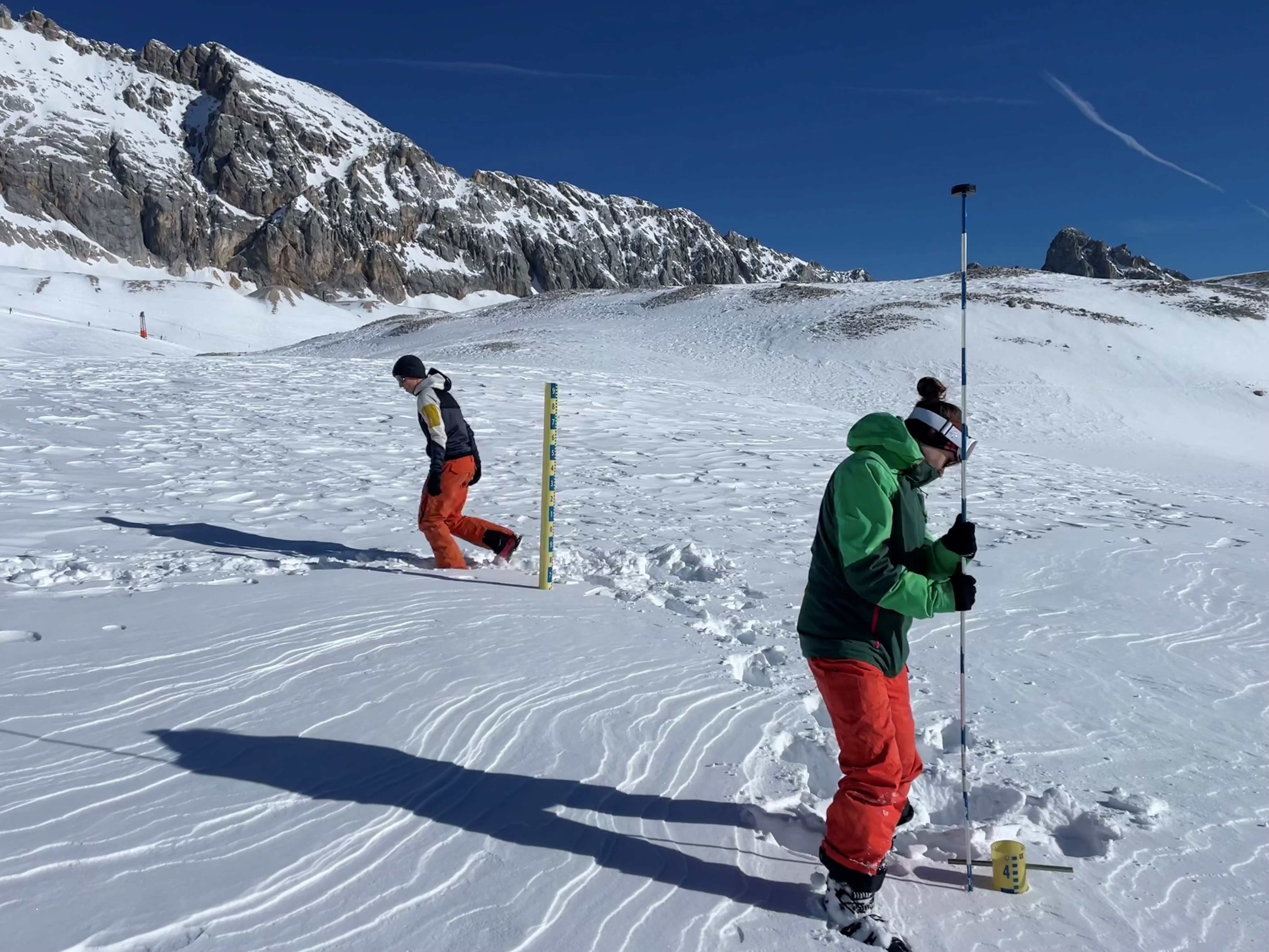
As part of the project, intensive studies will be conducted in the Zugspitze region on the area’s hydrology and on the formation and melting of the snowpack. This will involve the use of a comprehensive array of measuring instruments, satellite- and drone-based Earth observation, and computer-aided modeling approaches.
The UN Decade of Action on Cryospheric Sciences aims to reduce uncertainties regarding the causes and effects of changes in snow, ice, and permafrost. Snow is a major contributor to these uncertainties due to the incomplete understanding and representation of snow processes in climate models. SnowShifts seeks to significantly enhance our comprehension of snow volume and mass, their non-linear dynamics and properties and, specifically, snow regime shifts within the Earth and climate systems. This will be achieved through a novel combination of in-situ and remote sensing observations, along with high-end numeric model developments. Innovative technologies such as photon-counting space-borne laser altimeters, terrestrial superconducting gravimeters, and novel scale-bridging approaches and downscaling of satellite gravimetry in extreme snow environments will be integrated with the latest multi-sensor satellite data and modelling. This will enable the retrieval of snow volume, mass, extent, and other properties, such as snow albedo, at unprecedented spatio-temporal resolutions.